

RSAvailable
FEZrs
Remote sensing
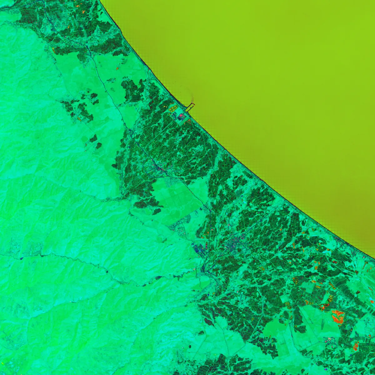
An open-source Python package for geospatial multispectral image processing and remote sensing: spectral indices, filters, image enhancement, change detection, clustering and classification behind one calculator API.
$ pip install fezrsJOSS paper under reviewApache-2.0