Remote Sensing
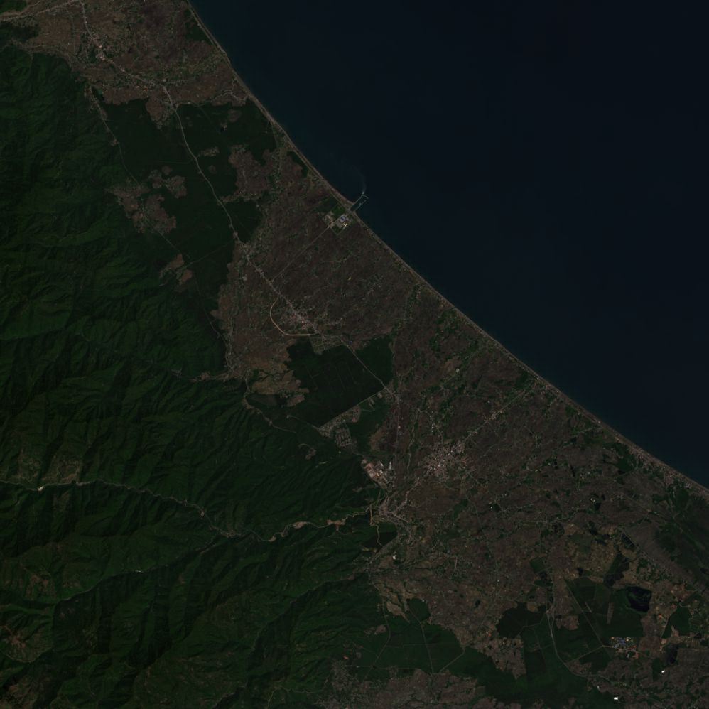
Remote sensing is the process of detecting and monitoring the physical characteristics of an area by measuring its reflected and emitted radiation at a distance. Remote sensing is a surveying and data collection technique, used to survey and collect data regarding an object while GIS is a computer system that consists of software used to analyze the collected data and hardware that the software would operate in.
Request Demo
Curious about FEZtool and how it can transform your geology projects? We're excited to give you a firsthand experience! Fill out the form below with your details, and we'll send you a demo registration link to explore FEZtool's powerful features. Whether you're looking for advanced tools, innovative solutions, or just a sneak peek at what we offer, this demo is the perfect starting point. Have questions? Feel free to reach out to us at support@feztool.com or connect with us on our social media channels. We're here to help and can't wait to show you what FEZtool can do!
Documentation
Free and Easy is not just a slogan.
The resources of some tools are publicly available on Github and Researchgate and you can easily
use them.
Our Team


After about a year with the cooperation of the FEZ team, the first tool is now available.
Discover more about us
Contact Us
Have questions or inquiries about FEZtool? We're here to help! Whether you're seeking assistance with our products, have feedback to share, or simply want to learn more about our services, our dedicated team is ready to assist you. Feel free to reach out to us through the contact form below, and we'll get back to you as soon as possible. Alternatively, you can also connect with us via email at support@feztool.com or through our social media channels. We value your input and look forward to hearing from you!
Collaborations


