What is FEZrs?
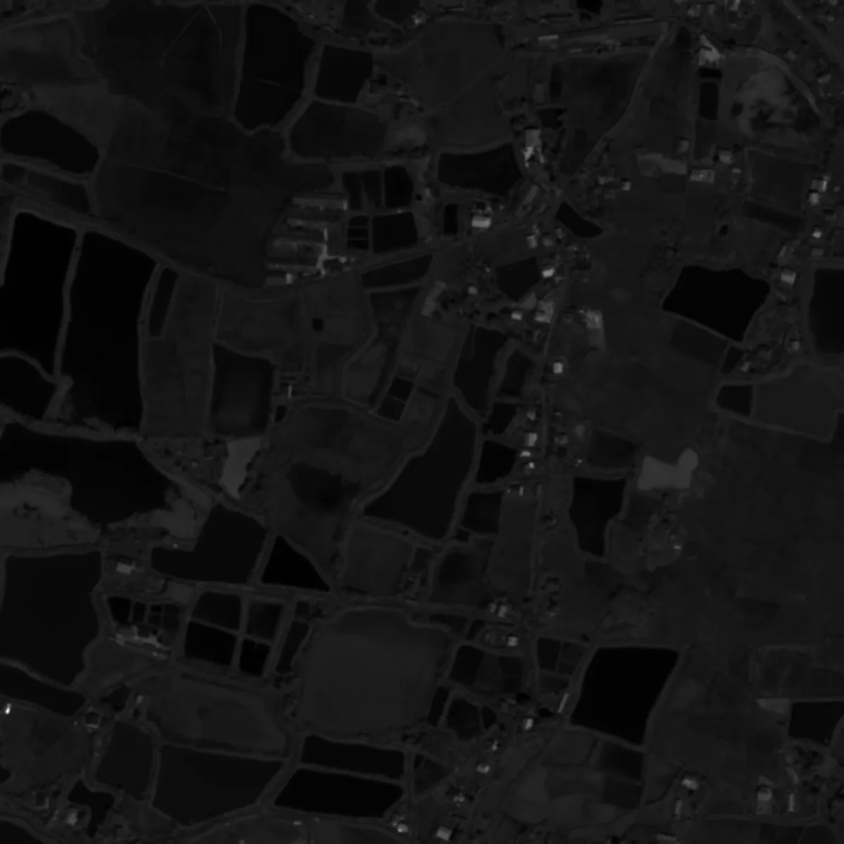
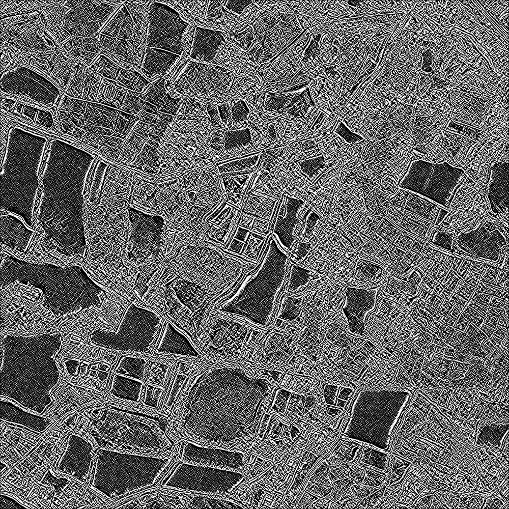
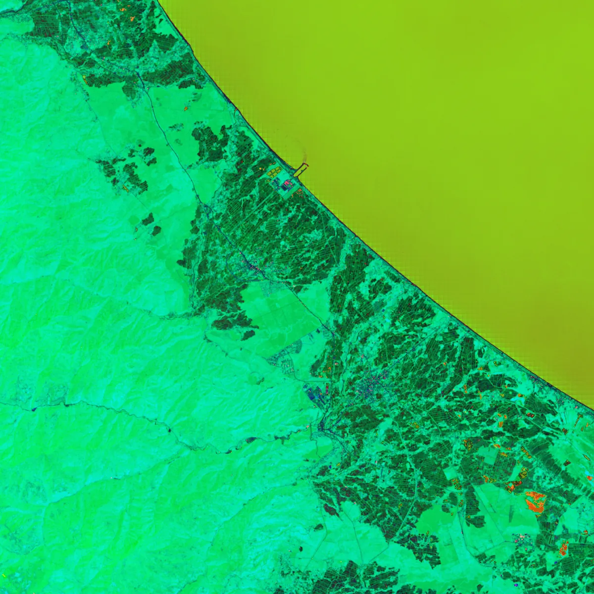
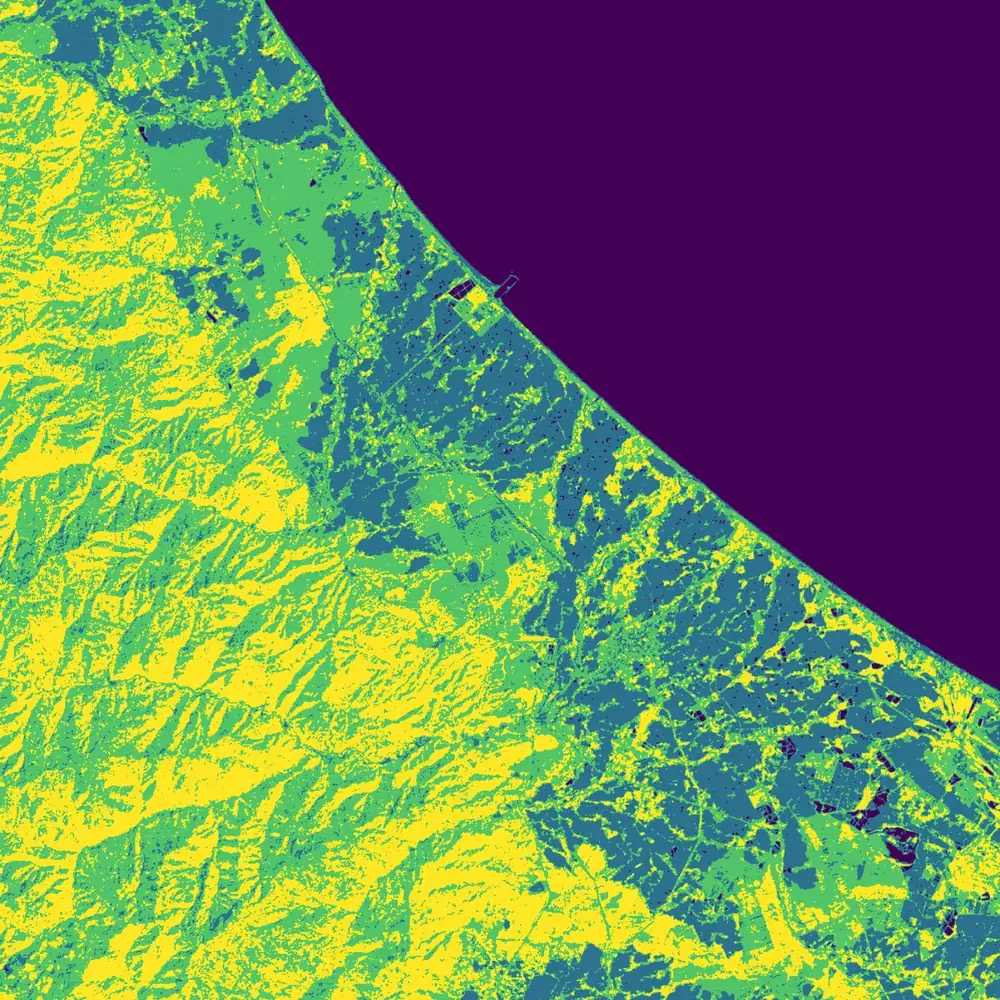
FEZrs is an open-source Python package for geospatial multispectral image processing and remote sensing. Its 37 operations share one calling pattern: create a calculator with the band paths, call execute() for a figure, and to_raster() for a GeoTIFF.
How do I install FEZrs?
Run pip install fezrs, or install it from the FEZtool channel on Anaconda with conda install -c FEZtool fezrs or mamba install FEZtool::fezrs. FEZrs needs Python 3.11 or later.
Which spectral indices does FEZrs compute?
NDVI, NDWI, SAVI, AFRI, BI (bare-soil index) and UI (urban index). Each is a calculator class, so NDVI is NDVICalculator.
Can FEZrs write georeferenced GeoTIFFs?
Yes. execute() saves a figure of the result; to_raster() then writes the full-precision array as a GeoTIFF with the source CRS and affine transform, ready for GIS software.
Is FEZrs free to use?
Yes. FEZrs is released under the Apache-2.0 license, and its documentation under CC BY 4.0.